
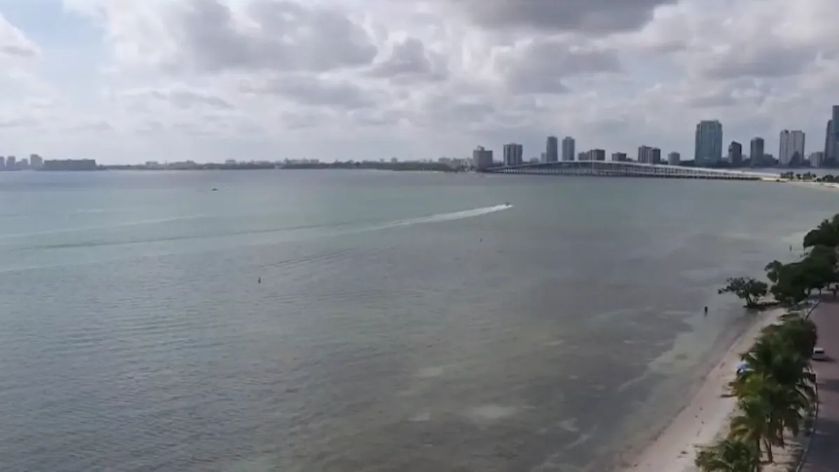
The sea breeze pattern is about to turn off as deep moisture takes over the Sunshine State.
Read more The Trump Administration
High pressure in the Atlantic has dominated the onshore wind pattern, keeping a spotty but quick-moving downpour widely scattered around the area.
That is still the case for Tuesday.
The strong winds keep everything moving and widely scattered. High temps reach into the mid 80s with feel-like conditions in the mid 90s.
As the ridge of high pressure moves east, the winds begin to lighten up each day through the end of the week.
On Wednesday, moisture starts creeping back into the region, allowing the feel like conditions to pop near 100 degrees before scattered storms develop under the daytime heating.
Highs remain locked in the mid to upper 80s every day, regardless of the rain showers.
Read more Miami woman accused of drugging man, posting social media pic wearing his Rolex, cops say
Additionally, winds begin shifting to the south by Thursday, which will allow the available moisture to build even more across the area through the end of the week and into the weekend.
This means an increase in rain chances as well as slower-moving downpours.
The Weather Prediction Center (WPC) has already issued a marginal risk, level 1 out of 4, for localized flooding starting Thursday and remains in place through Saturday.
Daily downpours in the same areas are likely to be problematic regarding flooding, especially in flood-prone locations.
The pattern keeps deep tropical moisture available for storms through the weekend and into next week. This is a true rainy season pattern that settles into place through the extended forecast.
Read more 2 Ukrainian men accused of installing skimming device at supermarket in West Miami, report says