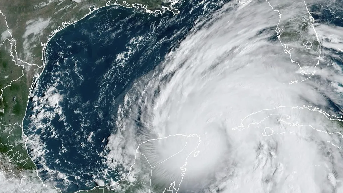
Colorado State University released their updated forecast for the 2026 hurricane season Wednesday morning, lowering their expectations for storm development.
Read more Has any team won back-to-back World Cups? Messi and Argentina look to repeat
Their most recent forecast now calls for 11 named storms, 5 hurricanes and 2 major hurricanes.
This is a minor adjustment from CSU’s April prediction of 13 storms, while continuing to characterize the season as “below-average.”
The average Atlantic season produces 14 named storms, 7 hurricanes and 3 major hurricanes.
This forecast comes on the heels of the National Oceanic and Atmospheric Administration’s outlook, released in late May, of 8-14 named storms, 3-6 hurricanes and 1-3 major hurricanes.
CSU’s update is part of a planned approach to keeping tabs on the season, with the next to be issued on July 8th.
Wednesday’s forecast is primarily being guided by the expectation that robust El Niño conditions will unfold later this summer, near the peak of the Atlantic season.
The ultimate impact of warming Pacific waters will play out over time as wind shear increases across the Caribbean, creating a prohibitive environment for storms to form.
Read more $5M in drugs found in Miami Gardens home after fatal robbery attempt, cops say
Seasonal forecasts are intended to match ongoing and expected ocean and atmospheric states with a likely outcome. With hostile conditions anticipated, below-average activity is anticipated across the suite of prognostics between public and private entities.
There is no skill in predicting when storms form and, more importantly, where they track. The forecasts are not a replacement for preparation, more so, they encourage awareness while not deviating from the necessity of always being ready for whatever the season brings.
The commencement of the Atlantic hurricane season, which occurred June 1st, is often a ceremonial starting gun of a marathon, with no more than a leisurely stroll out of the gate. Thankfully, the beginning of the season delivered no named storms on or before the first of June for the 3rd year in a row.
The average date for the season’s first storm occurs around June 20th, but at this time there are no signs of a named system developing anytime soon.
The early and late season months – think June and October – keep the Gulf coast and the Southeast region of the U.S. on watch, as long-term climatology favors the area for development. It’s often in the vicinity of dying or stalled out fronts that can serve as the catalyst for development.
It’s important to understand that an El Niño year does not mean no storms, but it tips the scales towards fewer storms. While that’s good on paper, it can be counterproductive from a preparation and awareness standpoint.
Residents of South Florida, specifically those who haven’t properly prepared for a hurricane since 2017, take away the idea of a “quieter” season from these forecasts. But that shouldn’t erase the understanding that storms will form, simply, the expectation is that fewer than average will stir this season.
Read more Person detained after ‘suspicious’ fire at Little Havana home, Miami Police say